The Team

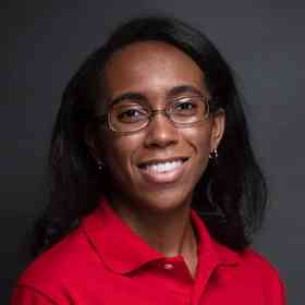
Photo of Dr. Taylor Oshan

Dr. Taylor Oshan

Assistant Professor; Lead

I am broadly interested in characterizing spatial patterns and processes through the use of quantitative geographic methods, which typically falls under the banners of spatial analysis and spatial statistics, geographic information science, and the emerging discipline of spatial data science. Overall, my research has targeted the development of multivariate spatial statistics and how they can be used to capture how relationships change by spatial and temporal contexts. This includes issues of theory, interpretation, scalability, and integration of traditional geographic models with novel "big" datasets, as well as applications in public health, crime, urban mobility, and transportation systems.

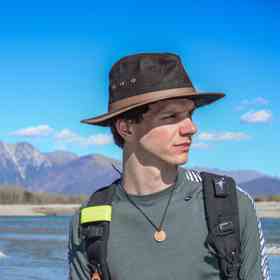
Photo of Zheng Liu

Zheng Liu

PhD Candidate; Member

Zheng Liu is a Ph.D. candidate in the Center for Geographical Information Science, University of Maryland, College Park. His research interest lies in urban analytics and micro-mobility modeling using big data and machine learning techniques. He is working on multi-temporal mobility modeling of micro-mobility as his dissertation topic. He is also interested in the application of GIScience in the self-driving industry. Before joining UMD, he obtained his Bachelor of Science in Geographical Information Science at Peking University.

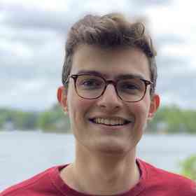
Photo of Mengyu Liao

Mengyu Liao

PhD Student; Member

My interests include spatiotemporal theories and applications, big data, spatial data science, as well as geospatial modeling with machine learning. As a Ph.D student, I am eager to use those above to explore how humans perceive, interact with, and change space/environments. Particularly, I have a strong interest in bridging geospatial modeling with criminology, human mobility and health.

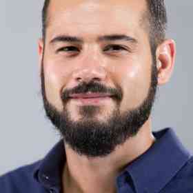
Photo of Ushashi Podder

Ushashi Podder

PhD Student; Member

My interests include geospatial visualization, spatial data science, spatial modeling, and machine learning with applications in urban, transportation and health geography. I aim to expand my skills and apply those to study the mobility patterns, behaviors and activities of humans across space. I also aim to apply my skills to the health sector to study infectious diseases by taking into account human mobility patterns. Bike sharing system and sustainable transportation is also an arena of interest that I want to explore.

Photo of Victor Irekponor

Victor Irekponor

PhD Student; Member

Victor Irekponor is a first-year Ph.D. student in the Center for Geographical Information Science, University of Maryland, College Park. He is broadly interested at the cutting-edge of research and development in urban informatics, smart cities, and geospatial data science; specifically, the science that investigates the ‘where’ and ‘why’ of various human and natural phenomena in cities. Before coming to Maryland, he studied at the University of Lagos, Nigeria, and graduated with a first-class bachelor’s degree in urban planning. Beyond academics, Victor has over three years of software engineering experience as well as experience building and deploying machine learning models. His major tools include Python, Scikit-learn, Keras, Tensorflow, and React.js. He hopes to deploy his skills in software engineering, data science, and urban planning to conceptualize and contribute significantly to smart cities research.

Photo of Janna Chapman

Janna Chapman

Student; Member

Janna is a rising senior double majoring in Environmental Science and Technology and Geographical Sciences at the University of Maryland, College Park. She is interested in using GIS to analyze the spatial patterns of environmental issues such as the urban heat island effect, deforestation, and air pollution to help inform sustainable solutions to those problems. She hopes to pursue a Master’s degree in Geographical Sciences and a career in environmental data science.

Photo of Matthew Tralka

Matthew Tralka

Faculty Specialist; Head Developer

Matthew Tralka (he/him) is a faculty specialist in GIScience and Remote Sensing at the University of Maryland. At UMD, Matthew specializes in geospatial software engineering with an overall focus in advancing morphological image processing techniques for performance at scale and creating sustainable and accessible cyberinfrastructure for distributed and decentralized computing initiatives. He has a proven background on projects with NASA, USGS, DOD, IARPA, and the NGA. Explicitly, his latest work on IARPA’s WATCH project involves accelerating novel at-scale cloud detection workflows for heterogeneous datasets. In his free time, Matthew enjoys promoting data-equity initiatives and contributing to the open source community.

Photo of Tyler Hoffman

Tyler Hoffman

PhD Student; Affiliate

Coming from a background of math and computer science, Tyler is interested in methods development and algorithm design for spatial data science. He's also an advocate for the use of spatial methods in broader research. In his spare time, Tyler loves watching movies, playing video games, and biking. He's currently a Ph.D student at Arizona State University in the Spatial Analysis Research Center (SPARC).